Offline Navigation Apps Every Off-Roader Needs
It starts with confidence—until you hit a fork in the trail and your phone says, “No service.” Suddenly, your route vanishes, your GPS freezes, and you’re left guessing which way to turn. If you’re heading into remote terrain, relying on standard mobile maps is a gamble. What you need are off-road nav apps that keep you on track even when the signal disappears.
Today’s no-service navigation tools give overlanders a reliable way to navigate deep forests, deserts, mountains, and backcountry roads without needing a single bar of coverage. They offer offline maps, trail overlays, GPX support, and even real-time tracking via satellite sync.
In this guide, we break down the best GPS apps offline, comparing their features, usability, and why they matter for safe and rewarding off-road adventures.
Why Offline Navigation Is Essential for Off-Roading
Once you leave the tarmac, cell service becomes unreliable—and in many remote zones, it disappears altogether. That’s when offline GPS apps become more than just convenient—they’re essential.
Key Advantages:
- Uninterrupted access to trail maps in dead zones
- Accurate location tracking via a GPS chip, not network towers
- Custom route planning and GPX support
- Safety assurance when exploring solo or in new terrain
Even if you carry a satellite messenger or paper maps, offline apps give you visual clarity and precision as you move.
What to Look for in Off-Road Nav Apps
Not all apps are made equal. The best offline navigation tools are built with rugged exploration in mind.
Key Features:
- Downloadable maps (topographic, satellite, hybrid)
- Track recording for route replay or review
- GPX/KML file import/export
- Trail databases with verified off-road routes
- Layer switching (e.g. land ownership, weather, elevation)
Bonus Capabilities:
- Weather overlays or forecast integration
- Offline search for waypoints and features
- Customisable waypoints, notes, and markers
Top GPS Apps for Offline Trail Navigation
1. Gaia GPS
Standout Features:
- Excellent layering tools: USFS, satellite, weather, MVUM
- GPX support and robust route planning tools
- Compatible with Android, iOS, and web browsers
Best For: Serious off-roaders who want full control of map layers and detailed terrain data.
2. onX Offroad
Standout Features:
- Trail network overlays with difficulty ratings and closures
- Land ownership boundaries for public vs private access
- Sync across devices with cloud backups
Best For: Hunters, overlanders, and land-conscious travellers.
3. Maps.me
Standout Features:
- Free offline maps with global coverage
- Turn-by-turn navigation, even offline
- Light on battery and memory
Best For: Budget-conscious users who still need global offline coverage.
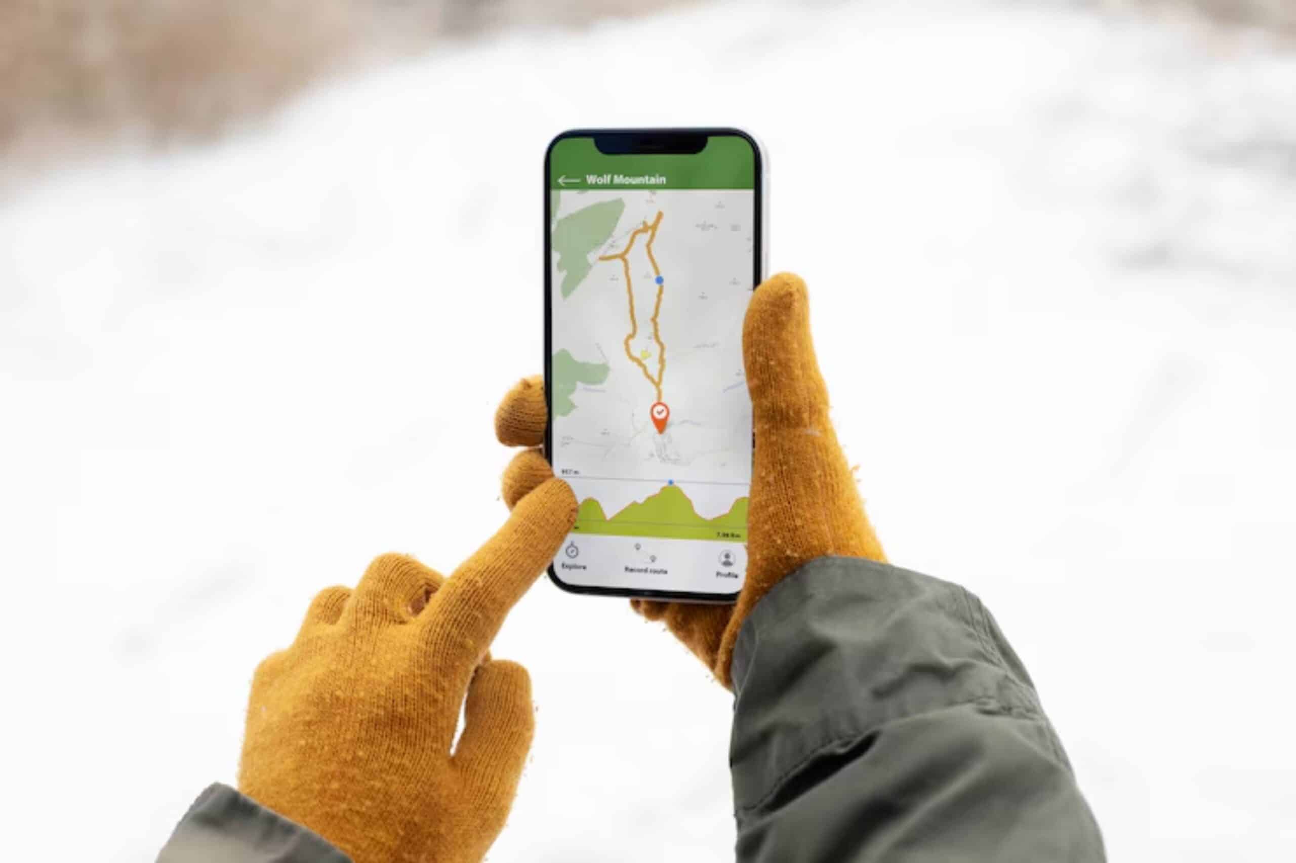
4. AllTrails+

Standout Features:
- Focus on hiking and off-road trails
- Verified user reviews and real photos
- Offline trail maps with GPX downloads
Best For: Trail-specific users and weekend adventurers looking for community-sourced data.
5. Hema Explorer (Australia/NZ)
Standout Features:
- Hema’s iconic mapping database
- Includes remote campsites, fuel stops, and road conditions
- Works on Android and iOS with cloud syncing
Best For: Australian and Kiwi 4×4 travellers in isolated regions.
Device Compatibility and Setup Tips
Most GPS apps work on both smartphones and tablets. To use them reliably off-road.

- Download maps before departure
- Use a rugged, waterproof case or mount
- Keep a power bank or hardwired charger handy
- Turn off background data to save battery when offline
Some overlanders prefer using a dedicated tablet with apps only—no SIM, no distractions.
If you’re using your nav apps alongside CB or ham radio equipment, ensure your antenna placement doesn’t interfere with device signals. You can learn more about that in our CB and ham radio setup guide.
Real-World Off-Grid Use Cases
In California’s Mojave Desert, a convoy used Gaia GPS to stay aligned across an unmarked sand trail. Waypoints were pre-loaded, and even when visibility dropped, the app helped maintain orientation.
In Scotland’s Cairngorms, an overlander relied on onX Offroad to avoid private estates and stay within permitted access routes. Offline elevation layers proved essential in planning safe climbs and descents.
Both setups proved that with the right app, even complex navigation becomes intuitive and visual.
App Subscription Costs and Plans
Most of these apps offer free versions, but serious functionality often sits behind paywalls.
| App | Free Version | Paid Plan (Annually) |
| Gaia GPS | Limited maps | £32/year (Gaia Premium) |
| onX Offroad | No offline use | £30/year |
| Maps.me | Fully free | Optional ad-free upgrade |
| AllTrails+ | Limited access | £29.99/year |
| Hema | Paid only | ~£49/year |
If you travel often, the price of these apps is negligible compared to the value they offer in safety and control.
Integrating Offline Apps with Other Systems
Many apps support exporting GPX files for.
- Sharing routes with friends
- Syncing to standalone GPS units
- Overlaying on Google Earth or Garmin Explore
Some apps like Gaia and onX allow route syncing to cloud profiles—great if you switch between devices or plan on desktop.
If you also use a standalone GPS unit, check our guide on the best off-road GPS systems for 2025 to learn how to complement app-based nav with dedicated hardware.
Conclusion: Navigate with Confidence, No Signal Required
Offline GPS apps give you the power to explore further, safer, and smarter. With detailed terrain data, trail overlays, and no dependence on mobile service, you’re never really off the map.
Choose the app that best fits your planning style, device, and region. Pre-load your maps, mark your key waypoints, and pair your app with the right accessories.
Because with the right tools in your pocket, every turn leads to possibility, not panic.


