How to Plan a Multi-Day Off-Road Adventure
The moment you leave the bitumen behind and aim for the wild, everything changes. A simple day trip becomes a test of foresight, navigation, logistics, and resilience. Planning a successful multi-day off-road adventure means more than plotting lines on a map—it’s about preparing your route, your rig, and your mindset for what lies ahead.
Unlike single-day trips, multi-day off-road journeys demand layered planning fuel stops, food supplies, weather changes, camp logistics, and mechanical contingencies. But with the right tools, approach, and attention to detail, even the most remote trek becomes manageable—and enjoyable.
This guide breaks down the essentials of trail planning for 4×4 travel, with step-by-step insights into overland route setup, tech tools, group coordination, and backcountry mapping tips that keep you confident, even when the trail vanishes.
Why Planning Is Crucial for Multi-Day Trail Travel
The longer you’re off-grid, the higher the stakes. Mistakes that seem minor on a short trip—like forgetting spare water or misreading a weather front—can escalate when you’re deep in the backcountry.
Strong planning helps you:
- Stay safe and self-reliant in remote areas
- Optimise travel time and fuel efficiency
- Find ideal campsites along your route
- Adapt when unexpected conditions arise
It also reduces stress, allowing you to enjoy the freedom that overlanding is all about.

Choosing the Right Route for Your Vehicle and Skills
Not all trails are created equal. When selecting a route, consider your vehicle’s capability, your driving experience, and the nature of the terrain.
Key Questions:
- Is the route suitable for your rig’s clearance and drivetrain?
- Are there seasonal closures, river crossings, or steep grades?
- What’s your fuel range, and are there resupply points?
Research online forums, national park sites, and GPS platforms that include user-submitted track reviews. This is especially useful when learning how to judge trail difficulty ratings.
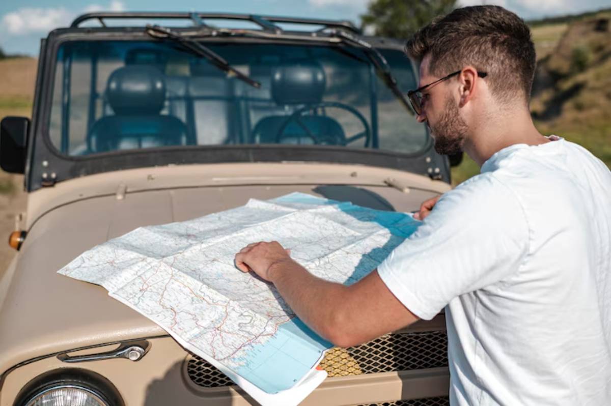
Use mapping overlays and topographic lines to spot elevation changes or choke points. Apps like Gaia GPS and onX Offroad are excellent for this task.
Tools for Trail Planning and Mapping
Modern tech offers robust tools to create, visualise, and edit your route well before wheels hit dirt.
Navigation Tools:
- Gaia GPS: Layer-rich maps including MVUM, topographic, and satellite views
- onX Offroad: Real-time trail status and public/private land overlays
- Google Earth Pro: Route visualisation and terrain simulation
- Garmin BaseCamp: For syncing with Garmin devices
Planning Extras:
- Use GPX/KML route files for preloading waypoints
- Annotate routes with notes fuel stops, camp zones, hazards
- Always download offline maps for use beyond signal range
Pair this with a reliable off-road GPS system—see our guide to best off-road GPS systems for 2025 for gear suggestions that match your route style.
Setting Up a Practical Itinerary
A realistic itinerary balances distance with terrain and rest.
Planning Tips:
- Don’t exceed 100–150 km per day on technical tracks
- Include time for mechanical checks, breaks, and trail repairs
- Have contingency campsites in case you’re delayed
- Start early to maximise daylight and flexibility
Use daily legs, marked camps, and travel notes in your app or printed planner. Include “Plan B” bailout routes in case of unexpected events.
Coordinating with Your Travel Group
If travelling with others, clear comms and agreed routines are essential.
Group Logistics:
- Share maps and itineraries via apps or printed packs
- Use CB or ham radios for real-time updates (see radio setup guide)
- Assign roles navigator, mechanic, communicator
- Use daily check-ins or trail briefings before setting off
Everyone should know the route, risks, and responsibilities—even if you’re not the one driving.

Managing Fuel, Water, and Supplies
Multi-day trips live or die on resource planning.
Fuel:
- Calculate consumption with buffer (~20% more than normal use)
- Store fuel in safe, legal containers (e.g., jerry cans, Rotopax)
- Know where your last and next fuel stops are
Water:
- Minimum 4L per person per day (plus more for cooking)
- Carry extra for pets or emergencies
- Use gravity filters or UV purifiers near clean sources
Food:
- Choose long-life or pre-packed meals for ease
- Keep a snack stash accessible during drive time
- Store perishables in fridge/freezer or dry bins
Label containers and track usage to avoid surprises on day four.
Campsite Selection and Backcountry Etiquette
Where you sleep matters—both for comfort and for preserving nature.
Finding Camps:
- Use apps like WikiCamps, iOverlander, or Hema Explorer
- Look for flat ground, wind shelter, and water access (without camping too close)
- Scout before dark to avoid rush decisions
Camp Considerations:
- Pack out all rubbish—leave no trace
- Respect access rules and permits
- Minimise campfire impact, or use portable fire pits
- Maintain a distance from wildlife corridors or protected flora
Trail etiquette is part of long-term access. Leave your route better than you found it.
Contingency Planning: Expect the Unexpected
Weather turns, injuries, mechanical failures—they happen. Have a plan.
Contingency Must-Haves:
- Printed maps and a compass
- Satellite messenger or EPIRB
- Medical kit and first-aid knowledge
- Spare parts belts, fuses, tyre plugs, fluids
- Communication protocol if the group splits
Plan routes with exit points, alternate trails, and extra supplies. Test recovery gear and ensure everyone knows how to use it.
Real-World Example: Four Days Through the Flinders
A family of three planned a 4-day overland loop through the Flinders Ranges, using a mix of Gaia GPS and printed Hema maps. They stored 60L of water, used an ARB fridge for meals, and camped at a mix of bush sites and a managed station.
Rain rerouted them on day two, but because their itinerary included backup tracks, they avoided panic and found a protected gulley with a dry creek bed to camp in.
The key to their success? Layered planning and flexibility.
Conclusion: Prep Now, So the Trail Feels Free
When you plan your route with care, your multi-day off-road adventure becomes a joy instead of a juggling act. Smart trail planning for 4×4 travel, thorough overland route setup, and well-practised backcountry mapping tips lay the foundation for a smoother, safer, and more meaningful journey.
Use tech where it helps, but never forget basics food, fuel, flexibility. Keep your travel mates informed, your maps updated, and your margins wide.
Because when the planning’s solid, the adventure unfolds exactly the way it should—unexpectedly perfect.


