Key Apps & Maps for Finding Off-Road Trails
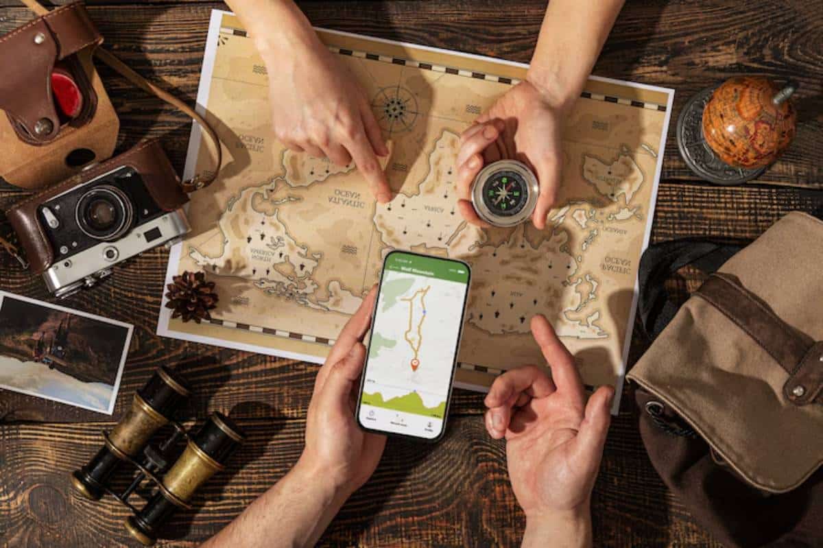
Every great off-road journey begins with a good plan—and that starts with knowing where you can (and can’t) go. Whether you’re tackling a multi-day expedition or looking for a hidden weekend trail, having the right GPS for 4×4 travel and digital tools in your pocket can mean the difference between adventure and misadventure.
Today’s best trail apps offer real-time route insights, offline access, land ownership overlays, and user-verified track info that paper maps simply can’t match. And in 2025, with so many options available, it’s easier than ever to tailor your off-road route planner to your rig, your trip style, and your location.
In this guide, we’ll break down the top apps, maps, and mapping strategies to help you find legal, safe, and rewarding trails—no matter where the road ends.
Why Digital Trail Apps Matter for Overlanders
Paper maps are still great backups, but digital mapping has transformed how overlanders plan and explore.
Key Benefits:
- Offline access to high-detail maps
- Real-time trail conditions and closure updates
- Crowdsourced reviews and photo waypoints
- Layered maps with terrain, property boundaries, and land type
- GPX export for syncing with GPS units
Whether you’re deep in national forests or crossing public/private patchworks, smart maps help keep you legal and confident.
Best Trail Apps for 4×4 Travel in 2025
1. Gaia GPS
- Extensive map layer options USFS, topo, satellite, weather
- Create custom routes, import/export GPX
- Excellent for overlanders, backpackers, and backcountry users
Best For: Technical planning and offline layering for serious off-road routes.

2. onX Offroad
- Public/private land overlays and trail permissions
- Vehicle-specific filters (4×4, dirt bike, snowmobile)
- Downloadable maps and real-time status updates
Best For: Finding legal access trails and tracking closures.
3. AllTrails+
- Trailhead access info, parking, elevation, user photos
- More suited for hiking, but includes 4×4 and OHV trails
- Map download and route tracking
Best For: Casual explorers and dual-use vehicle/hiking users.
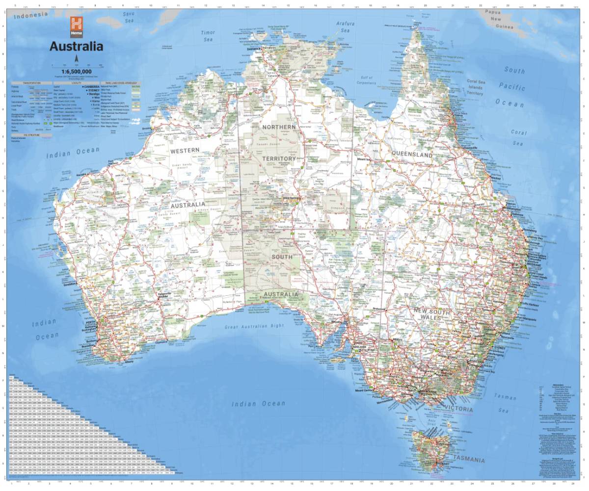
4. Hema Explorer (AU/NZ)
- Detailed topo maps for Australia and New Zealand
- Road conditions, campsites, fuel points, and track ratings
Best For: Down Under overlanders needing regional detail.
5. Komoot
- Smooth GPX route builder
- Community-sourced tracks and points of interest
Best For: Lightweight trip planning with beautiful visuals.
Mapping Strategies to Maximise Trail Discovery
Apps are powerful—but it’s how you use them that unlocks their full potential.
Combine Map Layers
Use topographic lines, satellite imagery, and public land overlays at the same time to cross-reference.
- Steep climbs
- Access roads
- Terrain features
- Legal usage boundaries
Sync Across Devices
Plan on desktop, navigate on mobile or tablet. Most apps allow login across multiple devices for seamless updates.
Use GPX Files Wisely
Import GPX tracks from forums, clubs, or friends. Vet them first for accuracy—user uploads vary in quality.
Want to explore further into backcountry route setup? Our article on how to plan a multi-day off-road adventure shares in-depth trail planning strategies.
Bonus Tools for Scouting and Planning
Google Earth Pro
- Elevation, satellite, and 3D flyover views
- Measure distance and pitch
CalTopo
- Technical terrain modelling with slope and avalanche layers
- Export to print or GPX

Hema Maps (Paper + Digital)
- Excellent Aussie map coverage
- Combine with apps for hybrid navigation
These tools complement the apps above and give you multiple lenses for viewing the same terrain.
Trail Safety and Legal Considerations
Just because a line appears on a map doesn’t mean it’s legal or safe.
Tips:
- Always check for seasonal closures or permit requirements
- Respect private land boundaries, especially on dual-use trails
- Consult ranger stations or park services before your trip
Many areas now offer digital permit applications—link those with your trail apps when needed.
Real-World Example: A Legal 4×4 Loop in Utah
A solo traveller used Gaia GPS to plan a 3-day trail loop through Utah BLM land. By layering land ownership data, trail ratings, and USFS overlays, they avoided closed trails and camped legally.
Offline maps ensured smooth tracking even when the signal dropped. By day three, they’d logged a full loop with scenic stops, historic trail markers, and legal camp zones—all without once guessing if they were allowed to be there.
Lesson: The right tools = peace of mind.
Integrating Trail Apps into Your Rig Setup
Many overlanders mount their phones or tablets to the dash using RAM or Quad Lock systems. This keeps maps visible without fumbling.
Rig Integration Tips:
- Download maps over Wi-Fi before departure
- Use rugged cases and screen protectors
- Keep a charging cable or a hardwired USB port installed
- Mount within reach—but not in your crash zone
Pair your trail apps with your offline navigation setup. If you haven’t already explored our guide on offline GPS apps every off-roader needs, it’s worth checking for backup options.
Conclusion: Find Trails That Match Your Style
Great trips begin with good data. The best trail apps of 2025 make it easier than ever to plan, find, and follow epic 4×4 routes with confidence. Whether you’re chasing alpine tracks, desert trails, or coastal bush runs, there’s a mapping solution that fits your rhythm.
Use more than one tool. Layer insights. Download offline. Trust—but verify.
Because the trail is out there, and now, so is the map that gets you to it.


